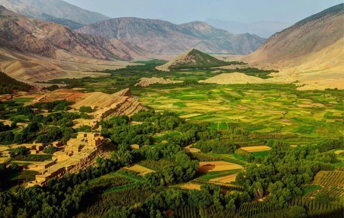
Trail User Safety: Why Static Ratings Fail
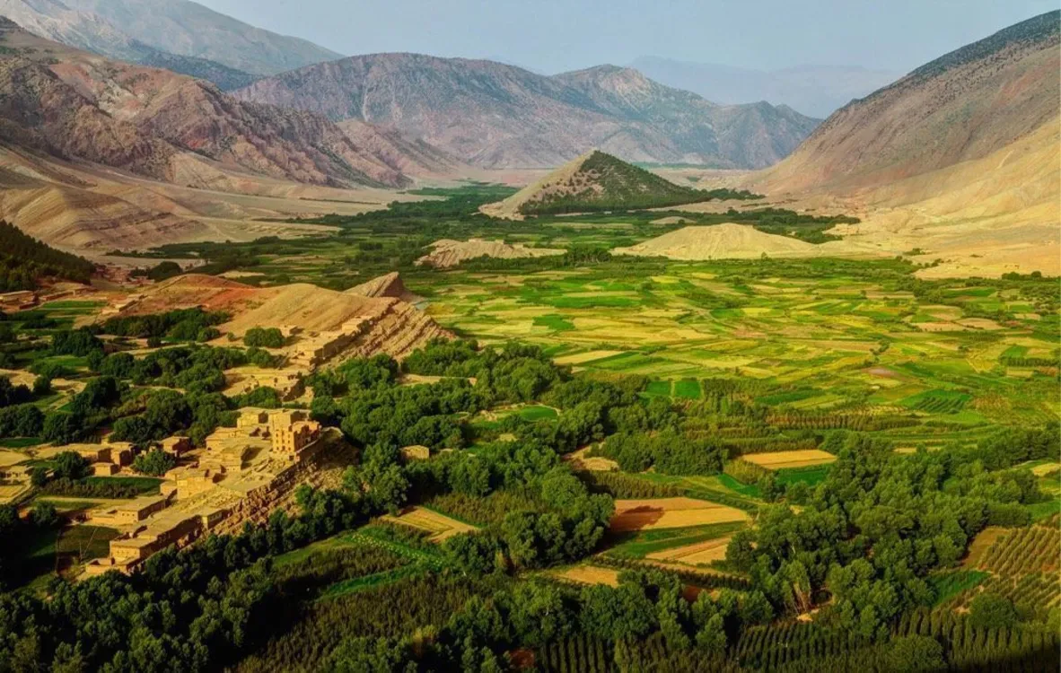
In the Atlas Mountains, the number on the page stays the same—but the trail underneath you does not
Learn why trail difficulty metrics fall short in dynamic mountain terrain and how seasonal conditions create dangerous gaps between ratings and reality. This piece argues that wilderness adventure planning demands living, guide-sourced intelligence over static systems.
TL;DR
Static trail ratings miss seasonal reality - A trail rated "intermediate" can range from packed hardpack to loose scree depending on the month, and the Atlas Mountains' extreme seasonal swings make this gap dangerous.
Most trail incidents stem from conditions, not recklessness - Slips, falls, and rock-fall injuries dominate incident reports because real-time hazards aren't captured by posted difficulty grades.
Local, daily trail intelligence is the real safety tool - A guide who rode the trail yesterday provides a "forecast" that no rating system or guidebook can replicate, especially in remote, variable terrain like the Atlas.
Ask "how hard is this trail today?" - That one word shifts the entire safety framework from static classification to living, actionable intelligence that protects riders and satisfies clients.
The Rating Says "Moderate." The Mountain Disagrees.
Every trail in the Atlas Mountains has a number attached to it. A grade. A color. A tidy classification that fits neatly into a booking page or guidebook sidebar. But here's the thing about trail difficulty metrics: they were written on a dry day, probably in an office, and they haven't been updated since the last snowmelt reshaped the switchbacks above Imlil. The number on the page stays the same. The trail underneath your tires does not.
The Comfortable Fiction of Static Ratings
We understand why the outdoor industry leans on standardized trail ratings. They're clean. They're comparable. They give a travel coordinator something concrete to put in front of a client. The International Trail Rating System and similar frameworks were built with good intentions: create a universal language so users can self-select appropriate routes.
And for well-maintained trails in temperate climates with predictable conditions, they work reasonably well. The problem is that the Atlas Mountains are none of those things. A trail rated "intermediate" in April can be a loose-rock obstacle course in August and a frozen, rutted puzzle in January. The rating didn't change. The trail did. And that gap between the label and the reality is exactly where trail user safety breaks down.
The Trail Is a Living Thing
Here's what we actually believe: in mountain terrain that shifts with the seasons, the most reliable safety system isn't a rating, it's a person who rode the trail yesterday.
Why Trail Difficulty Metrics Fail in the Atlas
Consider what a standard trail assessment captures. Gradient. Surface type. Technicality. Exposure. These are structural attributes, and they matter. But they're static snapshots of a dynamic environment. They don't tell you that the scree field on a descent near Tizi n'Test is ankle-deep in loose gravel after a dry summer, or that the same section in spring is packed firm by snowmelt and rides like hardpack.
The Mountaineers' 2023 annual safety report documented 834 incident reports, with slips and falls as the dominant incident type across trail activities from 2017 to 2023. Rock-fall injuries were the largest injury category that year. These aren't failures of fitness or recklessness. They're failures of information. People encountered conditions the trail's posted rating never warned them about.
This pattern holds globally. Research on alpine hiking accidents in Austria found that roughly 75% of falls occurred during descent, when loose surfaces, fatigue, and changing light conspire against riders and hikers alike. The trail's nominal difficulty rating doesn't tick upward at 3 PM when the sun shifts and shadows obscure the line. But the risk does.
The Atlas compounds this problem. The range spans from sub-Saharan heat at lower elevations to genuine alpine conditions above 3,000 meters. Seasonal variation isn't subtle. It's dramatic. July bakes exposed singletrack into cracked, dusty hardpan where traction vanishes on steep descents. December and January bring ice to north-facing slopes that were perfectly rideable in October. Spring snowmelt turns creek crossings from ankle-deep trickles into thigh-deep problems that rewrite your route in real time.
No rating system accounts for this. None can. And that's not a criticism of the systems themselves. It's an argument that they were never designed to be the final word on whether a specific trail, on a specific day, is safe for a specific group of riders.
This is where experiential terrain knowledge becomes the real safety infrastructure. A local guide who has ridden a route through every season carries a mental model of that trail that no rating card can replicate. They know which sections hold moisture after rain, where goat herds churn up loose rock in autumn, and which descents demand a completely different line in winter versus summer.
For adventure coordinators and travel agents sourcing mountain biking experiences in Morocco , this distinction matters enormously. Your clients aren't just buying a route. They're buying conditions. And the only way to guarantee the conditions match the promise is to have someone on the ground who treats the trail as a living, changing thing.
Atlas Mountain Bike builds its trips around exactly this principle. Their guides are locals who ride these trails daily, adjusting routes in real time based on what the mountain is doing that week, not what a guidebook said it does in general. It's a fundamentally different approach to wilderness adventure planning, one where the intelligence is human, current, and granular.
What This Means for the People Booking the Trip
If this argument holds, it changes how adventure coordinators should evaluate partners. The question isn't "what's the trail rating?" It's "who rode this trail last, and what did they find?" A provider who can answer that question in real time is offering something structurally different from one who hands you a PDF with color-coded difficulty levels.
It also reframes client safety conversations. Instead of matching a client's fitness level to a static grade, you're matching them to a guide's judgment about current conditions. That's a harder sell on paper but a much better outcome on the mountain. The Appalachian Trail Conservancy makes a related point: safety is situational awareness plus communication planning, not a fixed difficulty label. In the Atlas, where cell reception is sparse and terrain shifts fast, that situational layer is everything.
A Better Way to Think About Trail Safety
Stop asking "how hard is this trail?" Start asking "how hard is this trail today?" That single word changes the entire framework. It moves trail assessment from a static document to a living conversation. It shifts authority from the rating system to the person standing on the dirt.
Think of it this way: a weather forecast isn't a climate report. One tells you what to expect in general. The other tells you what to wear tomorrow. Trail difficulty metrics are climate reports. What riders need, and what the people booking their trips should demand, is a forecast. Updated, local, and specific enough to act on.
The Mountain Doesn't Read the Guidebook
The Atlas doesn't care what number you assigned to its trails. It will freeze them, flood them, bake them, and reshape them on its own schedule. The riders who have the best experiences, and the safest ones, are the riders whose plans can flex with the mountain. That flexibility doesn't come from better algorithms or more granular rating scales. It comes from people who know the ground beneath their feet because they were standing on it yesterday.
That's not a romantic notion. It's the most practical safety tool available.
Frequently Asked Questions
What is the ITRS and how does it assess trails?
The International Trail Rating System classifies trails by structural attributes like gradient, surface type, and technical features. It's useful for comparing trails in stable conditions but doesn't account for seasonal changes, weather events, or real-time hazards that alter a trail's actual difficulty.
Why do trail difficulty ratings fall short for Atlas Mountains biking?
The Atlas Mountains experience extreme seasonal variation, from ice on high-altitude slopes in winter to heat-cracked hardpan in summer. A single static rating cannot capture these shifts, which is why guide-sourced, current trail intelligence is essential for safe trip planning.
How should adventure coordinators evaluate trail safety for clients?
Rather than relying solely on posted difficulty grades, ask potential partners who last rode the trail and what conditions they found. Providers with local guides who ride daily can match clients to real-time conditions, not just fitness-to-rating comparisons.