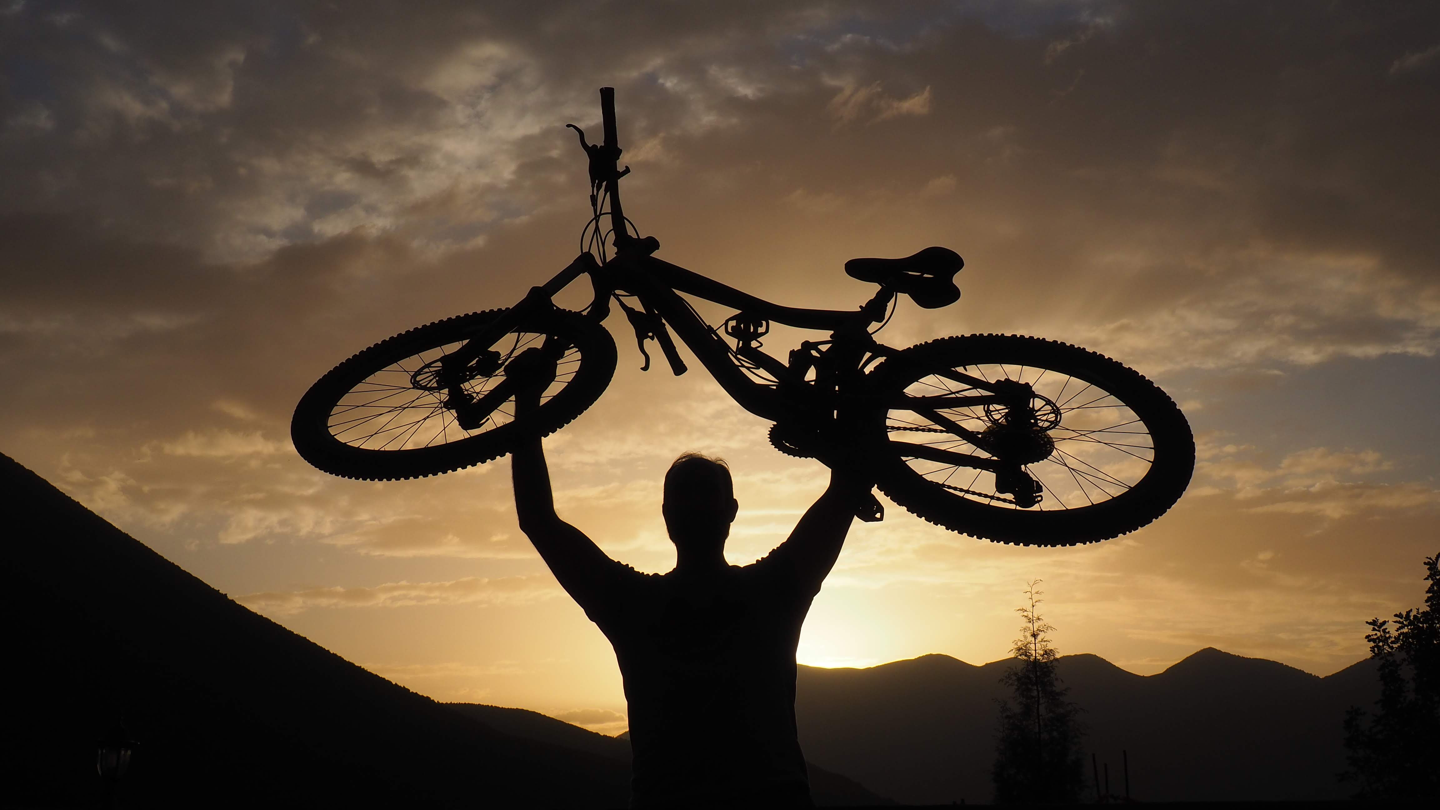
Trail Route Profiles: Atlas Mountain Seasons Guide
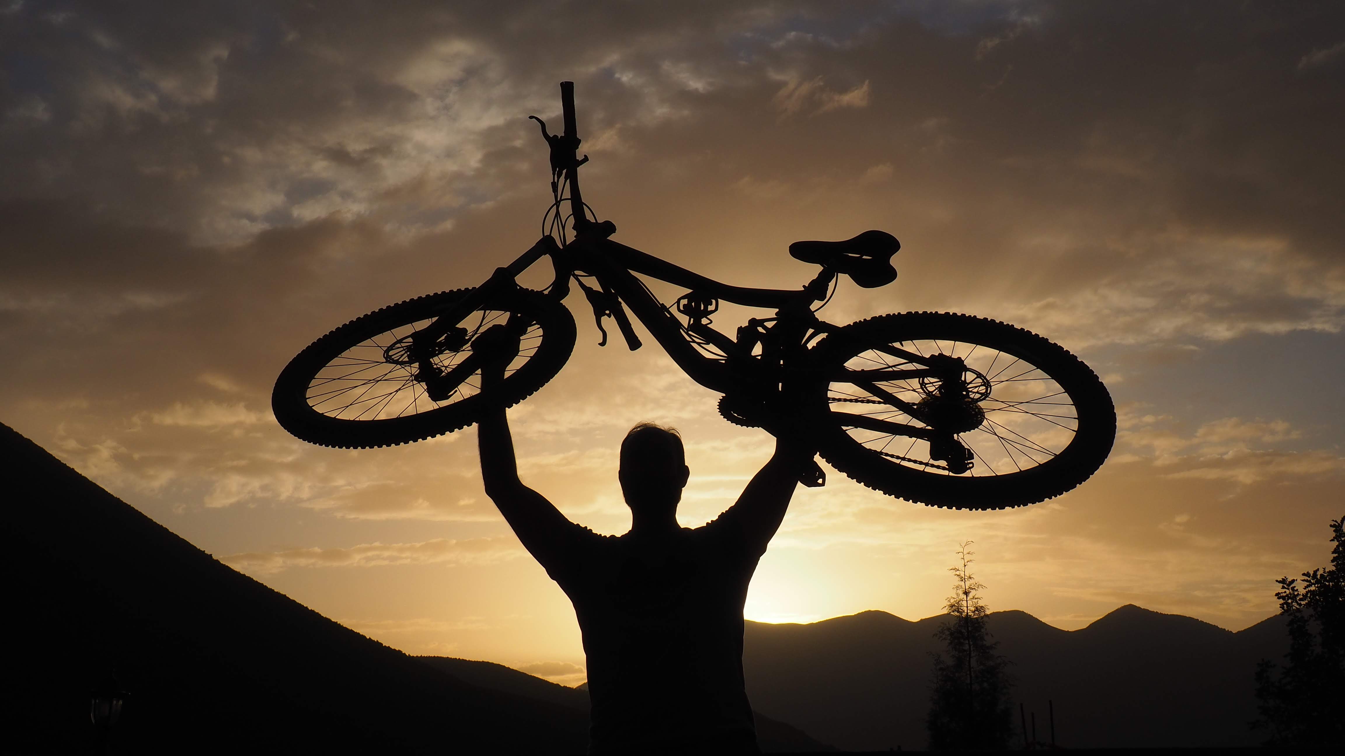
How local riding intelligence transforms seasonal trail data into mountain biking trips clients rave about
Learn how Atlas Mountain trail route profiles shift across four seasonal windows and why static ratings mislead adventure tourism planners. This guide helps travel agents and tour operators match trail conditions to rider ability using guide-informed terrain intelligence.
TL;DR
Atlas trails transform across four seasonal windows — Autumn (dry, prime riding), Winter (snow at altitude, mud below), Spring (snowmelt, variable grip, stunning scenery), and Summer (high-altitude escape from extreme heat). Each demands different route selection.
Static trail ratings are unreliable — A "moderate" trail in October can become an "advanced" trail in March. Seasonal moisture, freeze-thaw cycles, and snowmelt change effective difficulty constantly.
Altitude is the key planning variable — A 1,000-meter altitude gain can mean an entirely different climate. Plan routes vertically, not just horizontally, and always have lower-elevation alternatives ready.
Local guide knowledge is irreplaceable — Trail apps and databases show where trails are; guides who ride daily tell you what trails are doing right now. This real-time intelligence is the difference between a great trip and a dangerous one.
Client communication prevents disappointment — Riders handle variable conditions well when expectations are set honestly before departure. The operators earning the best reviews are the ones who prepare clients for what the mountain is actually doing, not what it does in the brochure photos.
Guide Orientation: What This Covers and Who It's For
This guide breaks down how Atlas Mountain trails transform season by season, and why understanding that transformation is the single most important factor in planning mountain biking trips that clients actually love. We're talking about trail route profiles that shift under your wheels depending on when you show up.
If you're a travel agent, adventure coordinator, or boutique tour operator sourcing mountain biking experiences in Morocco, this is for you. By the end, you'll understand how specific Atlas routes change across four distinct seasonal windows, how to match trail conditions to rider ability, and why static trail ratings can mislead you when conditions on the ground are anything but static.
This guide does not cover bike mechanics, gear packing lists, or general Morocco travel logistics. It focuses exclusively on the terrain intelligence that separates a well-timed trip from a miserable one.
Why Seasonal Trail Conditions Matter for Adventure Tourism
The Atlas Mountains are not a single experience. A singletrack descent outside Imlil that rolls like a ribbon in October can become a loose, waterlogged chute by February. The same valley pass that offers panoramic views and dry grip in April might be buried under snow and inaccessible in January. These aren't edge cases. They're the norm.
For operators building adventure tourism packages, this matters because client expectations are set before departure. A rider who books a "moderate" Atlas trail experience and encounters winter washout conditions doesn't blame the weather. They blame the operator who didn't prepare them. Customer satisfaction, referrals, and reviews all hinge on this alignment between expectation and reality.
Recent trail-recommendation research emphasizes that static trail information is insufficient because real-time environmental conditions and user proficiency can change trail safety and suitability dramatically. The Atlas Mountains are a textbook example: altitude, exposure, and North African weather patterns create conditions that shift not just month to month, but sometimes week to week.
Trail-engagement guidance for destination marketers explicitly recommends planning for seasonality from day one, because route performance and visitor behavior change over time. For the Atlas, ignoring this advice doesn't just reduce engagement. It creates safety risks.
Core Concepts: How Atlas Trails Actually Work
Altitude Bands and Microclimate Zones
The Atlas Mountains span from around 500 meters at the foothills near Marrakech to over 4,000 meters at Jebel Toubkal. This altitude range creates distinct microclimate bands. Trails at 1,200 meters behave differently from trails at 2,800 meters, even when they're only 15 kilometers apart horizontally. Understanding which altitude band a route occupies tells you more about seasonal ridability than any difficulty rating.
Soil Composition and Water Response
Atlas trails are predominantly red clay, loose schist, and compacted gravel. Red clay trails become slick and adhesive after rain, clogging drivetrains and turning berms into skating rinks. Schist-heavy trails shed water faster but fragment under freeze-thaw cycles, creating loose, sharp debris. Knowing what a trail is made of tells you how it will respond to moisture.
The Difference Between a Trail Rating and a Trail Condition
A common misconception in adventure tourism planning is treating trail difficulty as fixed. The Syris hiking platform was designed to assess trail difficulty using effort, technique, and risk dimensions, then recommend itineraries matched to user profiles. But even sophisticated systems like this acknowledge that a trail's rating is a baseline, not a guarantee. A "moderate" trail in dry conditions can become "advanced" after three days of rain. In the Atlas, this distinction is not academic. It's the difference between a flowing ride and a dangerous one.
Why Generic Apps Fall Short Here
A 2025 conceptual framework for hiking and mountaineering recommenders identified leading outdoor apps including Strava, AllTrails, Komoot, and Wikiloc. These tools are useful for route discovery, but they rely on user-generated data that often reflects a single visit in a single season. For the Atlas, where a trail can present three entirely different faces across the year, crowd-sourced snapshots create a dangerously incomplete picture.
The Seasonal Framework: Four Windows, Four Different Mountains
Atlas Mountain riding breaks into four distinct seasonal windows, each with its own character, risks, and rewards. Think of these not as calendar dates but as condition profiles that shift with altitude. The framework below is the navigational spine for everything that follows.
Window 1: Autumn Dry (September through November) — Peak ridability, firm trails, warm days, cool nights
Window 2: Winter Wet (December through February) — Snow at altitude, rain-saturated lower trails, restricted access
Window 3: Spring Transition (March through May) — Snowmelt, wildflowers, variable grip, expanding route options
Window 4: Summer Heat (June through August) — Dry and dusty, extreme heat at lower elevations, high-altitude refuge
Each window demands different route selection, different rider preparation, and different client communication. The steps below walk through each one in detail.
Step-by-Step Seasonal Breakdown for Trail Route Profiles
Step 1: Autumn Dry (September–November) — The Prime Window
Objective: Maximize route diversity and client satisfaction during the most forgiving conditions.
Autumn is when the Atlas is most generous. Summer heat has broken, but winter moisture hasn't arrived. Trails from the Ourika Valley to the Tizi n'Test pass are at their firmest. Red clay compacts into a grippy surface that rewards confident riding. Schist sections are stable, with minimal loose debris. Visibility is exceptional, and the light turns the valleys gold in the late afternoon.
This is the window where you can confidently offer the widest range of mountain biking adventures in Morocco , from technical singletrack descents to long valley traverses. Riders of intermediate ability can handle trails that would challenge them in wetter months. Advanced riders can push into higher-altitude routes above 2,500 meters without snow concerns.
Execution guidance: Build itineraries that showcase variety. Mix high-altitude ridgeline rides with lower valley routes. Schedule longer days because daylight and temperature both cooperate. This is the season to offer multi-day traverses, including routes that cross from the Atlas Mountains toward the Sahara .
Anti-patterns: Don't assume autumn means zero weather risk. October can bring early rain at altitude, especially above 2,800 meters. Don't book exclusively high-altitude routes without a lower-elevation backup plan. And don't oversell the ease of trails to beginners. Even in perfect conditions, Atlas singletrack demands focus.
Success indicators: Clients describe the riding as "flowy" and "connected." Guides report minimal trail-surface issues. No itinerary changes forced by weather.
Step 2: Winter Wet (December–February) — The Transformation
Objective: Maintain safe, satisfying riding by shifting routes downward in altitude and managing expectations proactively.
This is where the Atlas becomes a different mountain. Snow blankets everything above roughly 2,000 meters. The Tizi n'Tichka pass (2,260 meters) can close to vehicles. Trails that were smooth in October are now under ice or running with meltwater. Below the snowline, rain turns red clay trails into adhesive mud that makes pedaling feel like riding through wet cement.
But winter riding in the Atlas is not impossible. It's just a fundamentally different experience. Lower-altitude trails in the foothills between 800 and 1,400 meters remain ridable, especially during dry spells between storms. The air is cool and clear. Villages are quieter. The cultural immersion deepens because you're riding through communities in their daily rhythm, not their tourist season.
Execution guidance: Restrict routes to lower altitude bands. Focus on valley-floor trails and foothill circuits. Build in flexible rest days to accommodate weather windows. Communicate clearly with clients before booking: winter Atlas riding is about intimacy and culture, not big mountain descents. The riders who embrace this framing love it.
Anti-patterns: Never promise high-altitude routes in winter without explicit contingency plans. Don't treat winter as a lesser season in your marketing. Instead, position it honestly as a different kind of adventure. Avoid scheduling tight, multi-day itineraries with no buffer days. Winter weather in the Atlas can pin you down for 24 to 48 hours.
Success indicators: Zero safety incidents related to unexpected conditions. Clients describe the experience as "authentic" and "immersive." Guides are never forced into routes they consider marginal.
Step 3: Spring Transition (March–May) — The Rewakening
Objective: Capitalize on expanding trail access while respecting the unpredictability of snowmelt and spring storms.
Spring in the Atlas is dramatic. Snowmelt feeds waterfalls that didn't exist two months ago. Wildflowers carpet the valleys. Trails begin to dry from the bottom up, with lower routes firming by mid-March and higher routes opening progressively through April and May. The landscape is at its most visually stunning.
But spring is also the most variable season. A trail that was dry on Tuesday can be running with snowmelt by Thursday after a warm spell at altitude. Morning conditions can differ sharply from afternoon conditions as sun exposure shifts. Research on personalized recommendations in outdoor adventure tourism emphasizes matching routes to difficulty points, risk, and beauty. Spring in the Atlas scores high on beauty and risk simultaneously.
Execution guidance: Plan routes with altitude flexibility. Start the season with lower trails and progressively add altitude as conditions allow. Build itineraries around morning riding when trails are firmest (overnight temperatures compact the surface). Pair riding days with cultural stops, like visiting Berber villages during spring harvest preparation, to create value even when trails force a late start.
Anti-patterns: Don't lock in high-altitude routes for March. They're almost certainly still snow-affected. Don't ignore stream crossings on your route plan. Snowmelt can turn a shin-deep ford into a waist-deep one overnight. Avoid treating spring as "almost autumn." It's its own animal.
Success indicators: Itineraries flex smoothly when conditions shift. Clients feel the variability adds adventure rather than frustration. Guides report that trail choices were well-matched to actual conditions.
Step 4: Summer Heat (June–August) — The Altitude Escape
Objective: Use altitude strategically to deliver ridable conditions despite extreme heat at lower elevations.
Summer in the Marrakech basin regularly exceeds 40°C. Riding at 800 meters is punishing and potentially dangerous. But climb to 2,000 meters and above, and temperatures drop to a comfortable mid-twenties range. The snow is gone. Trails are bone-dry. Dust replaces mud as the primary surface challenge.
Summer is when the high Atlas opens fully. Routes around Toubkal, the Azzaden Valley, and the Tizi n'Test corridor are at peak accessibility. For operators considering combining Toubkal with a mountain bike tour , summer is the natural window. The trails are dry and fast, with loose gravel on exposed sections requiring attention but offering excellent flow on shaded singletrack.
Execution guidance: Schedule rides for early morning and late afternoon. Use the midday heat for rest, meals, or cultural activities. Route exclusively above 1,800 meters when possible. Ensure water resupply is planned meticulously because summer streams at altitude can run low by late July. Dust on descents reduces visibility for following riders, so stagger group starts on downhill sections.
Anti-patterns: Never route through low-altitude valleys during midday in summer. Don't underestimate dehydration risk, even at altitude. Avoid scheduling back-to-back high-intensity riding days without recovery. The dry air and UV exposure at altitude compound fatigue faster than riders expect.
Success indicators: No heat-related incidents. Clients describe the high-altitude riding as "the best kept secret." Guides report good trail surface conditions with manageable dust.
Step 5: Building Personalized Trail Recommendations Across Seasons
Objective: Translate seasonal knowledge into client-specific itinerary decisions that match rider ability to actual conditions.
Understanding the four seasonal windows is necessary but not sufficient. The real skill is matching a specific client group (their fitness, technical ability, risk tolerance, and experience expectations) to the right trails in the right season. This is where personalized trail recommendations move from marketing language to operational necessity.
A group of experienced enduro riders visiting in April wants different routes than a corporate team-building group visiting the same week. The season is the same. The trails should not be. Recommender system research identifies difficulty points, risk evaluation, beauty, and distinctiveness as the key attributes for personalized outdoor adventure matching. In practice, this means asking the right questions before you plan the route: How technical do they want it? How much exposure to height are they comfortable with? Do they want physical challenge or scenic immersion?
This is where local guide knowledge becomes irreplaceable. Atlas Mountain Bike builds itineraries around exactly this kind of matching, with guides who ride these trails daily and can calibrate route selection not just to the season but to the specific conditions that week and the specific group in front of them. No app or algorithm replicates that judgment.
Anti-patterns: Don't rely solely on trail-rating databases to build itineraries. A trail rated "intermediate" in a guidebook might be intermediate in October and advanced in March. Don't assume all clients in the same ability bracket want the same experience. Two "advanced" riders might have completely different definitions of a great day on the bike.
Success indicators: Post-trip feedback consistently mentions that the routes felt "perfectly matched" to the group. Repeat bookings and referrals increase. Zero instances of clients feeling under-challenged or overwhelmed.
Practical Examples: Same Trail, Different Season
The Imlil Valley Descent
In October, this classic route from the village of Armed down to Imlil runs fast and predictable. The clay is packed, the switchbacks are grippy, and intermediate riders handle it with confidence. Walnut trees line the trail in golden leaf. It's a crowd-pleaser.
In February, the same descent is a different proposition. Clay sections are saturated and slippery. The lower switchbacks collect runoff and develop ruts. The line choice that worked in autumn now leads into standing water. An experienced guide reroutes the group onto a parallel goat trail that stays on rockier ground, adding 20 minutes but preserving the flow and safety. A generic trail app would still show the original route as "moderate."
The Tizi n'Test Corridor
In July, this high-altitude corridor (peaking around 2,100 meters) offers dry, fast singletrack with expansive views south toward the Anti-Atlas. Dust is the main concern. Guides space riders and choose morning starts to ride before afternoon winds kick up.
In April, the same corridor is still shedding winter moisture. Snowmelt feeds streams that cross the trail at three points. Two of these crossings are manageable. The third, after a warm week, can run knee-deep and fast. A guide who rode it two days ago knows which crossing to skip and where to detour. A cycling route through Morocco that includes this corridor needs to account for this kind of variability, not just list the trail as "open."
Common Mistakes and Pitfalls
Treating trail ratings as permanent. The most common error in Atlas trip planning is assuming a trail's published difficulty holds year-round. It doesn't. A trail's effective difficulty shifts with moisture, temperature, and recent weather events. Always verify current conditions through local sources, not apps.
Ignoring altitude as a weather variable. Operators sometimes plan routes by horizontal distance and forget that a 1,000-meter altitude gain means a completely different climate zone. A sunny day in Marrakech can coexist with snow at 2,500 meters. Plan vertically, not just horizontally.
Over-promising and under-communicating. Clients can handle variable conditions if they're prepared for them. What they can't handle is surprise. The operators who earn the best reviews are the ones who set honest expectations before departure and then exceed them on the ground.
Skipping the guide relationship. Relying on digital tools alone for Atlas route planning is like navigating by satellite photo instead of looking at the road. The tools show you where the trail is. A local guide tells you what the trail is doing right now.
What to Do Next
Start by identifying which seasonal window aligns with your next Atlas Mountains booking. Then, instead of defaulting to a generic trail list, reach out to a local operator and ask one question: "What are the trails actually doing right now?" That single conversation will give you more actionable intelligence than any database.
If you're building a seasonal calendar for Atlas offerings, use the four-window framework above as your starting structure. Map your client segments (ability, risk tolerance, experience goals) against each window and note which combinations work and which don't. Revisit this mapping each year, because the Atlas evolves, and so does your understanding of it.
Treat this guide as a reference, not a checklist. The trails will teach you the rest.
Frequently Asked Questions
What is the best season for mountain biking in the Atlas Mountains?
Autumn (September through November) offers the most consistently ridable conditions across the widest range of altitudes. Trails are firm, weather is stable, and temperatures are comfortable. However, every season has its strengths. Summer opens high-altitude routes, spring delivers stunning scenery, and winter offers intimate cultural immersion at lower elevations.
How do trail route profiles change between seasons in the Atlas?
Dramatically. A trail's surface, grip, water crossings, and effective difficulty all shift with seasonal moisture and temperature. Red clay trails that are grippy in October become slick in February. High-altitude routes accessible in July are snow-covered in January. Treating any trail profile as static is the most common planning mistake.
Can you mountain bike in the Atlas Mountains during winter?
Yes, but route selection must shift to lower altitudes (roughly 800 to 1,400 meters). Snow typically covers trails above 2,000 meters from December through February. Lower foothill routes remain ridable during dry spells, and the experience focuses more on cultural immersion and quieter villages. Flexible scheduling is essential to work around storm cycles.
Why can't I rely on trail apps like AllTrails or Komoot for Atlas route planning?
These apps are useful for route discovery, but they rely on user-generated data that typically reflects a single visit in one season. In the Atlas, where the same trail can present entirely different conditions across the year, crowd-sourced snapshots create an incomplete and sometimes misleading picture. Local guide knowledge fills the gaps that no app currently covers.
How do personalized trail recommendations work for adventure tourism?
Effective personalization matches a specific group's fitness level, technical ability, risk tolerance, and experience goals to trails whose current conditions suit those attributes. Research identifies difficulty, risk, beauty, and distinctiveness as key matching criteria. In practice, this means asking the right questions before planning and relying on local intelligence to calibrate routes to real-time conditions.
What altitude range is ridable year-round in the Atlas Mountains?
Trails between roughly 800 and 1,600 meters are the most consistently accessible across all seasons, though they present different surface conditions depending on rainfall. Above 2,000 meters, access is typically restricted from December through March due to snow. Above 2,500 meters, trails are generally only ridable from late May through October.