
 10 Oct 2026
 10 min read
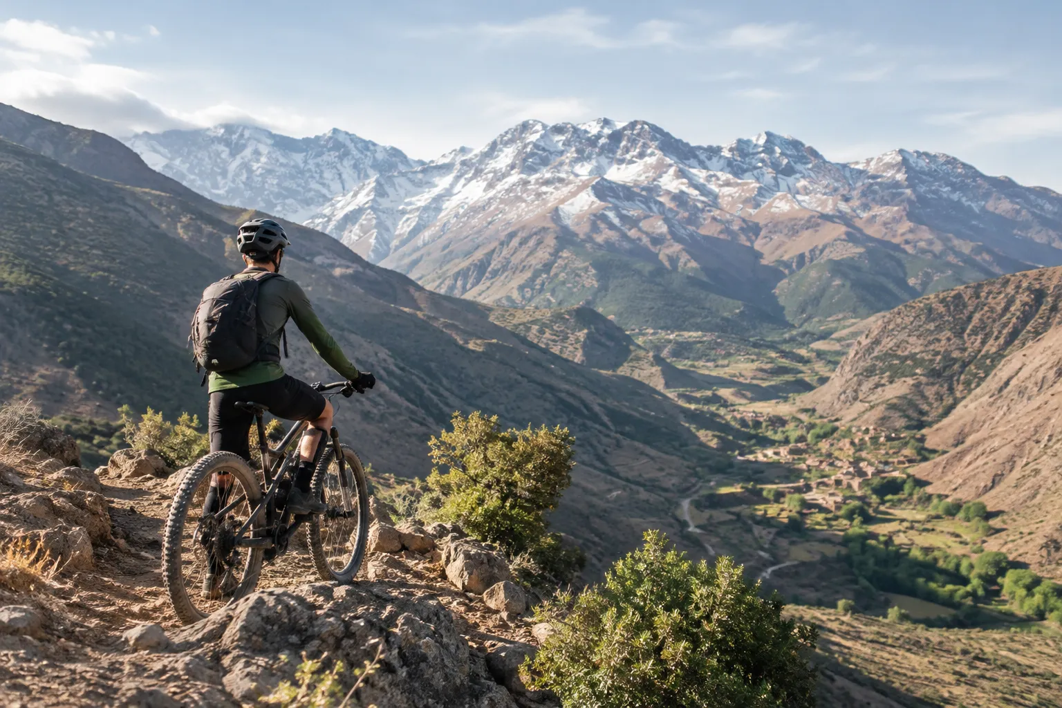
The Atlas Mountains are a vast mountain system in north-western Africa, stretching across Morocco, Algeria and Tunisia. In Morocco, they shape the landscape between Marrakech, the Atlantic side of the country and the Sahara, with distinct regions offering high peaks, forested plateaus and dry, rocky terrain. For visitors, the best place to start is by matching the area and season to the kind of trip you want: cycling, trekking or a mix of both.
Where the Atlas Mountains stretch across Morocco
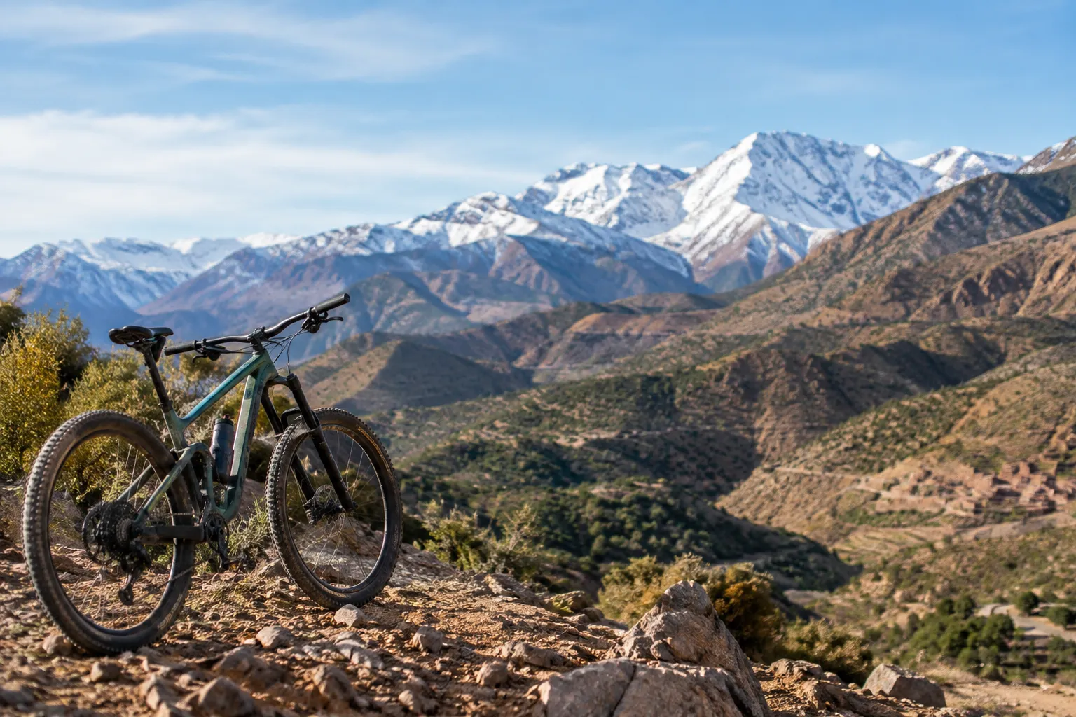
The Atlas Mountains run across Morocco from the country’s south-west toward the north-east, forming a transition between the Mediterranean and Atlantic-influenced regions to the north and the drier landscapes toward the Sahara to the south. The range continues east through Algeria and into Tunisia, but many travellers exploring Morocco focus on the High Atlas, which rises inland from Marrakech.
The three commonly described Moroccan regions—the High Atlas, Middle Atlas and Anti-Atlas—are not interchangeable destinations. They differ in elevation, terrain and access. Marrakech is a practical starting point for parts of the High Atlas, including the area around Imlil and Toubkal. Other sections involve longer journeys or different base towns, so a map-level overview is not enough when choosing a specific route.
This geography also matters for riding. Routes may use paved mountain roads, rough tracks, village paths or technical singletrack, sometimes within the same broad region. Anyone researching Atlas Mountains cycling should check the route’s starting point, elevation changes and surface rather than judging difficulty by distance alone. For a closer look at how conditions change during the year, see our guide to Atlas Mountain seasons.
How the High, Middle and Anti-Atlas differ
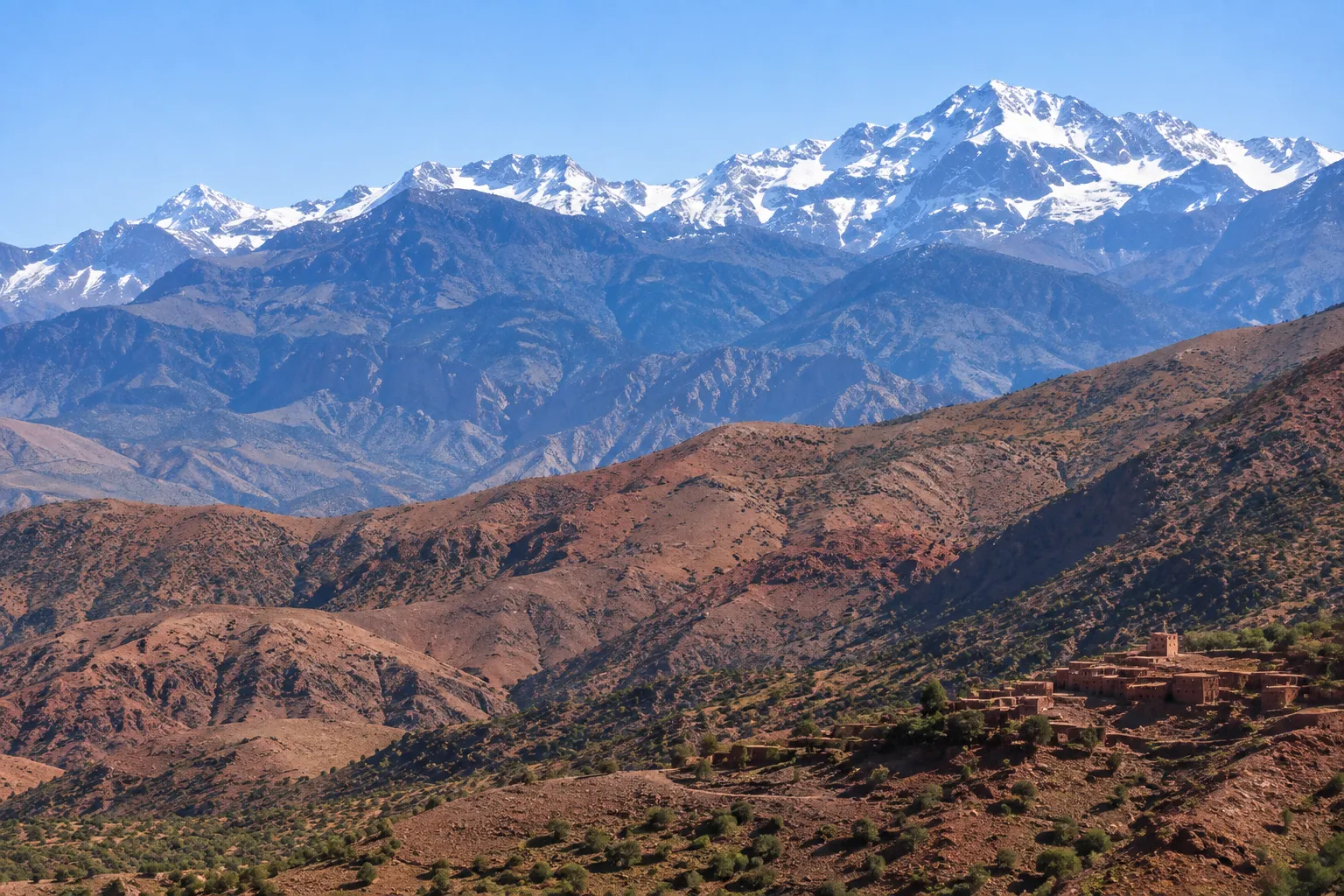
The names describe broad mountain regions, not a single continuous landscape. The High Atlas is known for its prominent peaks and deep valleys; the Middle Atlas has more wooded uplands and plateaus; and the Anti-Atlas is generally drier and more visibly rocky. These differences affect what visitors see and what a day outdoors may involve.
If walking is your priority, compare route length, elevation and terrain before choosing a base. Our overview of Atlas hiking routes can help you explore walking options across different settings.
High Atlas: peaks, valleys and mountain villages
The High Atlas contains Morocco’s highest elevations, including the Toubkal area south of Marrakech. Its character changes quickly with altitude: steep slopes and high ridgelines give way to cultivated valley floors, river corridors and settlements linked by winding roads and footpaths.
Imlil is a well-known access point for the Toubkal region. Visitors come for trekking, village walks and mountain views, while cyclists may encounter long climbs, descents, rocky tracks and route sections where conditions vary with weather and elevation. A route that is manageable on a road bike may be unsuitable for a mountain bike—or vice versa—so identify the surface and technical demands in advance.
The High Atlas may suit travellers seeking a pronounced mountain setting and a trip built around elevation. It is less suited to an itinerary chosen only for easy access or a short, flat outing. Even a relatively brief visit can include substantial climbing or walking, depending on the start point and route.
Middle Atlas: forests, plateaus and springs
The Middle Atlas offers a different impression: upland plateaus, wooded areas and water features such as springs and lakes. Its terrain can feel more open and rolling than the High Atlas, although conditions still vary from one route to another.
For visitors, the appeal may be the contrast between forest and open high ground rather than dramatic, high-altitude peaks. Cycling and walking itineraries can involve quiet roads, unpaved tracks and changes in surface. Check the route profile and local access details rather than assuming that the region’s gentler overall appearance means every trail is easy.
The Middle Atlas is a useful choice for travellers interested in a broader landscape tour of Morocco’s mountain regions. It is farther from Marrakech than the nearest High Atlas destinations, so travel time and overnight plans should be considered alongside the activity itself.
Anti-Atlas: arid ridges and rocky terrain
South of the High Atlas, the Anti-Atlas has a drier, more rugged feel. Rocky ridges, bare slopes and scattered settlements define much of its character, with colour and vegetation changing according to location and season.
This landscape can appeal to riders and walkers who enjoy exposed terrain and a remote feel. Routes may be rocky or uneven, and shade or water stops may be less frequent than in greener areas. Plan around the route’s length, available services and conditions, especially if travelling independently.
The Anti-Atlas is not simply a lower-altitude version of the High Atlas. Its arid scenery and rocky ground create a distinct kind of outing, so it is worth choosing it for those qualities rather than treating it as a convenient extension of a Marrakech-based trip.
Landscapes and seasons to plan around
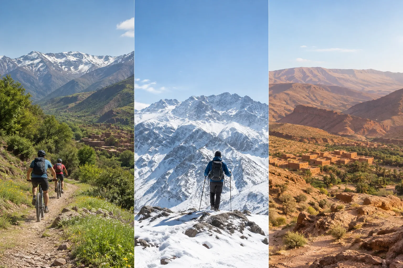
Elevation, weather and exposure shape the Atlas Mountains throughout the year. Conditions in a valley can differ from those on a high pass, and a sunny morning does not necessarily mean that higher ground will be warm or clear. The best timing depends on the specific region and activity, not just the month.
Spring and autumn are often considered for active trips because temperatures can be more comfortable than during the hottest part of summer. Even then, expect variation: high elevations may be cool, while lower valleys can be warmer. In winter, snow and cold can affect high mountain routes; summer heat can make exposed lower slopes and dry regions more demanding, particularly for long rides or walks.
For cycling, think beyond temperature. Rain or snow can change trail conditions, and loose or rocky surfaces may call for different skills from smooth roads. For trekking, account for daylight, elevation gain and the pace of the group. A multi-day itinerary needs a realistic plan for rest and changing conditions, while a day outing can offer more flexibility if the weather shifts.
The scenery changes with season, too. Greener slopes and flowing water may be more noticeable at some times of year, while dry, clear conditions can bring sharper views of ridges and valleys. For context on riding through these changing landscapes, read Cycling the Atlas Mountains.
Before finalising dates, check the forecast and ask about current route conditions for the exact area. A general seasonal guide is useful for planning, but it cannot replace local information about a particular pass, trail or village road.
Getting to the Atlas Mountains from Marrakech
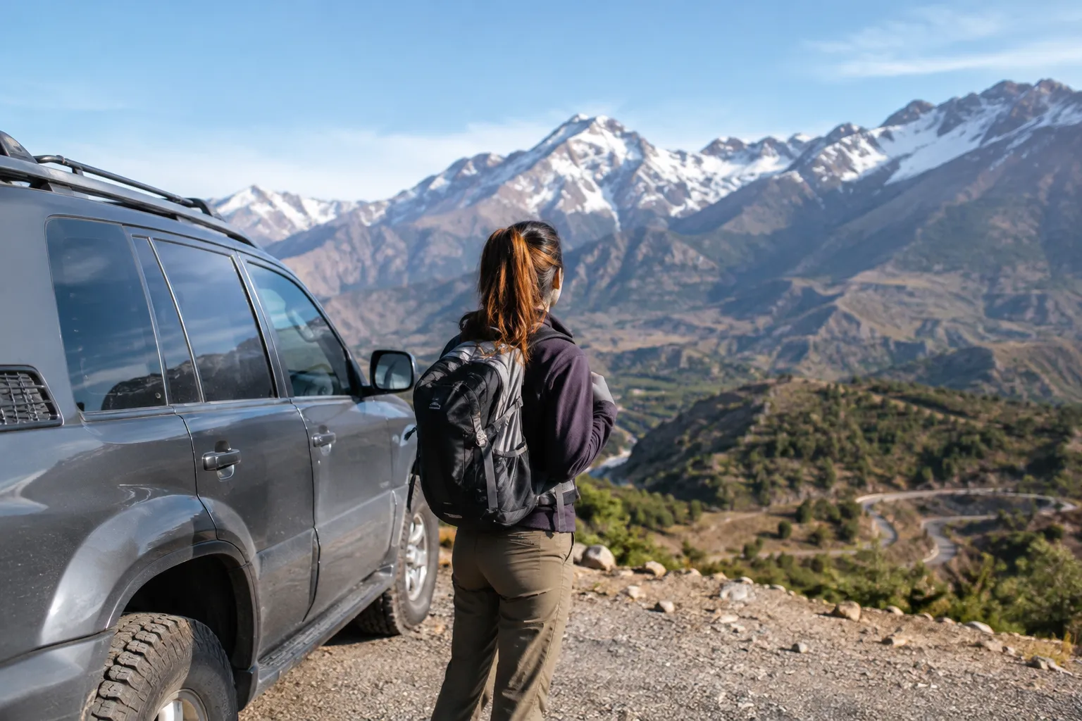
Marrakech is a practical gateway to parts of the High Atlas, but it is not next to every destination in the range. The time and transport needed depend on the starting point, road conditions and whether the plan is a day trip or a longer journey.
Imlil and the Toubkal area are among the better-known mountain destinations reached from Marrakech. A day outing may be possible for visitors focusing on a nearby valley or a short activity, but adding a long trek or a high-altitude objective can require an overnight stay and an earlier start. Destinations in the Middle Atlas or Anti-Atlas involve different travel plans and should not be treated as simple day extensions from the city.
For a cycling trip, establish where riding begins. Some itineraries transfer riders to a trailhead before the ride, while others include road approaches or several riding days between places. Confirm how luggage, transport and overnight stops are handled, and whether the route finishes where it starts. These practical details matter particularly for groups with varied fitness or riding experience.
Independent travellers should also check whether public transport reaches the intended starting point and what onward transport is available. Roads can be winding, and journey times can differ from what a map distance suggests. Allow room in the plan for transfers and avoid scheduling a demanding mountain activity immediately after a long journey.
Explore the Atlas Mountains by bike or on foot
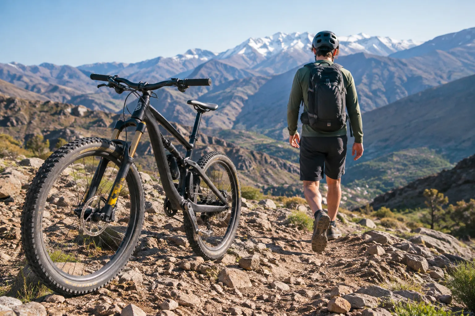
There is no single way to experience the Atlas Mountains. A short excursion can introduce a valley or village, while a multi-day trip gives more time to cross changing terrain and settle into the rhythm of mountain travel. The choice between riding and walking depends on the distance you want to cover, the terrain you enjoy and how much physical effort you want to spend each day.
A guided trip can be useful when the route involves unfamiliar trails, changing surfaces or multiple transfers. When comparing options, ask for the expected riding or walking time, elevation gain, technical difficulty, group pace and rest arrangements. For mixed-experience groups, an itinerary should make its demands clear rather than relying on a broad label such as “moderate.”
Mountain biking, e-biking and gravel routes
Mountain biking in the Atlas Mountains can involve rocky tracks, singletrack, steep gradients, loose surfaces and paved connections. The exact combination varies by route. Riders should look for a clear description of technical sections and climbing, then compare those demands with the terrain they ride confidently at home.
E-biking can assist with sustained climbs, but it does not remove the need to handle rough ground, manage braking on descents or ride for the planned duration. Ask how the route’s terrain and distance fit the bike format, and whether the group will ride at a shared pace.
Gravel routes usually favour a mix of unpaved tracks and roads rather than narrow, technical trails. They may suit riders comfortable with long distances and variable surfaces, but the term “gravel” does not guarantee smooth or even ground. Confirm the actual surface and elevation profile.
For a supported multi-day ride, compare the itinerary’s daily distances and climbing, as well as how transfers and rest periods fit together. If travelling as a group, discuss the range of experience beforehand so the route can be assessed for the whole party—not only its strongest rider.
Trekking through valleys and village paths
Walking routes range from short valley outings to longer days with substantial elevation gain. Village paths can pass through cultivated areas and settled landscapes, while higher routes may involve exposed slopes, steeper climbs and cooler conditions.
Choose a trek by its total time on foot, ascent and descent, terrain and altitude—not distance alone. A short route with steep climbing may feel more demanding than a longer walk across gentler ground. For families or groups with different walking speeds, leave enough time for stops and agree on a realistic daily pace.
Longer trekking journeys may require overnight arrangements and careful planning for food, water and changing weather. Shorter walks can be easier to fit into a Marrakech-based itinerary, but transfers still take time. Whichever format you choose, a route description should make clear whether it follows established paths, village tracks or more rugged mountain terrain.
Atlas Mountains travel FAQs
What is so special about the Atlas Mountains?
The Atlas Mountains bring together high peaks, deep valleys, forested uplands and arid rocky regions within one mountain system. That variety makes it possible to choose very different settings for cycling, trekking and cultural visits.
Can you do a day trip to the Atlas Mountains from Marrakech?
Yes, a day trip from Marrakech is possible to parts of the nearby High Atlas, including valley destinations around Imlil. The activity and time available depend on transfers, route length and how much elevation the outing involves.
Is it worth going to the Atlas Mountains?
The Atlas Mountains are worth considering if you want a trip focused on mountain landscapes, village paths, cycling or trekking rather than city sightseeing alone. Choose the region and activity to match your available time and experience.
Which country are the Atlas Mountains in?
The Atlas Mountains extend across Morocco, Algeria and Tunisia in north-western Africa. The High, Middle and Anti-Atlas regions discussed in this guide are in Morocco.
What is the closest city to the Atlas Mountains?
Marrakech is a convenient major city for reaching parts of the High Atlas, but there is no single closest city to the entire range. The best starting point depends on which mountain region you plan to visit.
What people live in the Atlas Mountains?
Amazigh communities live across many parts of Morocco’s Atlas regions, alongside other residents. Communities and daily life vary by area, so visitors should approach villages respectfully and follow local guidance.
What should I pack for a trek in the Atlas Mountains?
Pack sturdy footwear suited to the route, layered clothing, sun protection and enough water for the planned walk. Add warmer layers for higher elevations and check the expected weather and terrain before setting out.
How far in advance should I book an Atlas Mountains cycling trip?
Book early enough to confirm dates, route difficulty, transfers and any overnight arrangements, especially if your group has fixed travel dates. The right lead time depends on the season, itinerary and group size.
Choose an Atlas Mountains adventure that fits your trip
Start with the landscape you want to experience: the high peaks and valleys of the High Atlas, the wooded uplands of the Middle Atlas or the dry, rocky terrain of the Anti-Atlas. Then consider the season, access time and whether you want to ride, walk or combine activities.
For cycling, match the route surface and elevation to your experience, and check how daily distances, transfers and rest time fit into the itinerary. For trekking, compare walking hours and ascent rather than relying on distance alone. Groups should consider the pace and abilities of every participant, while families may want to prioritise routes with realistic daily demands and clear logistics.
Atlas Mountain Bike’s activity guides cover focused options including Morocco mountain biking tours, Atlas gravel biking, e-bike rides and trekking-style excursions. Use them to explore the format that best fits your plans, then compare specific routes by terrain, season and starting point.
Hannah Whitaker is an adventure travel editor with a background in outdoor travel writing and guided cycling trips. She specialises in mountain biking and trekking in Morocco, including routes around Marrakech, the Atlas Mountains and the Sahara. Drawing on local guides’ knowledge, she explains trail conditions, practical preparation and the cultural context of each journey. Her articles help riders assess whether a route suits their ability and plan a rewarding day or multi-day trip.